
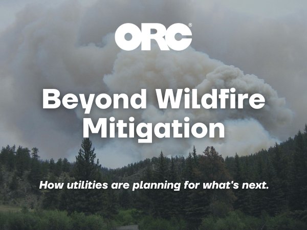
Wildfire risk is reshaping how utilities plan, prioritize, and invest in their infrastructure. As organizations face increasing pressure to improve grid resilience while making the most of limited resources, every investment decision carries greater weight.
A recent Utility Dive article explored this shift, highlighting how utilities are moving beyond wildfire response and mitigation toward more strategic, data-driven investment planning. For organizations responsible for managing complex utility assets, reliable data is becoming one of the most valuable tools for making confident, informed decisions.
Moving Beyond Reactive Planning
Traditionally, wildfire mitigation efforts have often focused on responding to immediate risks or addressing known problem areas.
Today, utilities are looking at the bigger picture. They’re asking questions like:
- Which assets present the greatest wildfire risk?
- Where will investments have the greatest impact?
- How can we prioritize work while balancing budgets and regulatory expectations?
Answering these questions requires more than experience alone. It requires reliable, accessible data that helps utilities prioritize investments with confidence.
That’s where connected GIS data, right of way information, vegetation management records, and field observations become invaluable. Together, they provide utilities with a more complete picture of asset conditions and potential risks, supporting more informed planning decisions.
Why Better Data Leads to Better Decisions
Utilities generate an enormous amount of information through inspections, vegetation management activities, GIS systems, and field operations.
When that information is organized and connected, it can help utilities:
- Identify high-risk areas sooner.
- Prioritize projects based on measurable risk.
- Allocate budgets more effectively.
- Document decision-making for regulators and stakeholders.
- Monitor the effectiveness of mitigation efforts over time.
The goal isn’t simply collecting more data; its ensuring utilities have accurate, connected information they can trust when making investment decisions.
Utilities often rely on information from multiple sources — from GIS and right of way records to vegetation management programs and field inspections. Bringing that information together helps create a clearer understanding of asset conditions and emerging risks, allowing organizations to prioritize projects with greater confidence.
Building Long-Term Resilience
Wildfire resilience isn’t built through one project or one investment. It comes from creating repeatable processes that allow organizations to continuously evaluate risk, prioritize work, and adapt as conditions change. Digital tools and connected workflows are helping utilities make these decisions with greater confidence while supporting transparency and accountability throughout the planning process.
Rather than reacting to individual events, this approach helps utilities build resilience into everyday planning, strengthen grid resilience, and support long-term investment strategies.
What This Means for the Industry
As highlighted in the recent Utility Dive article, the conversation around wildfire resilience is expanding beyond mitigation to include capital planning and investment decisions. That shift reflects a broader industry trend: utilities are increasingly expected to make investment decisions that are not only proactive, but also supported by reliable, defensible data.
Looking ahead, organizations that can connect GIS, right of way, vegetation management, and field data will be better positioned to prioritize investments, adapt to evolving risks, and build resilient infrastructure for the future
Ready to Strengthen Your Utility Planning?
Reliable planning starts with reliable data. As utilities continue to navigate evolving wildfire risks, organizations that invest in accurate, connected information are better positioned to prioritize work, justify investments, and strengthen long-term resilience.
Explore ORC’s utility services and discover how our expertise in GIS, right of way, vegetation management, and field services help utilities make smarter infrastructure investments.